WGS-84 Calculator
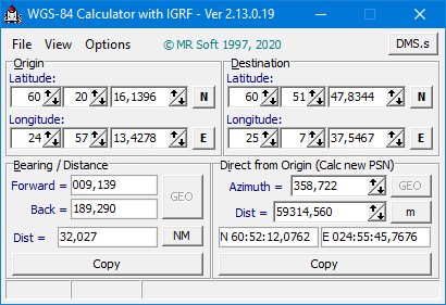
WGS-84 Calculator is used to calculate geodetic distance and azimuth between two points (latitude and longitude). In addition, it can calculate a new point from origin using the given azimuth and distance. The latest version can calculate a new point between origin and destination.
Versions 2.11+ includes IGRF magnetic model, program calculates magnetic declination for both points and gives results also as magnetic bearings. Declination is calculated using altitude 0.0 m MSL and selected date. Magnetic bearing could be used also when calculationg a new point.
- Using IGRF-13 model, calculated magnetic declination is shown on right top corner
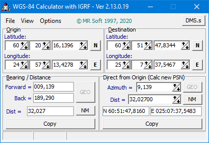
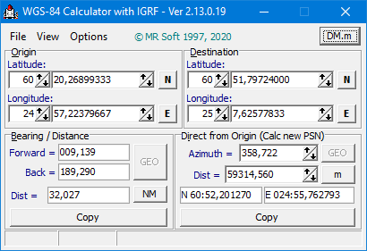
Lat/long values can be inserted using three different formats:
Calculations are based on WGS-84 (World Geodetic System - 1984) co-ordinate system, which is used for example in aviation. Result can be copied to Windows clipboard and then used in other Windows programs.
The WGS-84 Calculator program is very easy to use.
WGS-84 Calculator requirements
- Operating system Windows 95 / 98 / ME / NT / 2000 / XP/ 2003 / Vista / 7 / 8 / 10
Download
- WGS-84 Calculator Setup.exe (570 kt)
Version history
- Version
2.13.0.19 21 Feb 2020
- New function: Calculate point between Origin and Destination.
- Given distance for a new point can be negative. In that case azimuth used in calculation would be Azm - 180.0°
- One example of point between calculations here
- Corrected N/S and E/W buttons events
- Changed proposed program installation directory for setup program
- Version
2.12.0.17 7 Jan 2020
- Magnetic model IGRF-13 added
- IGRF-13 implemented for 2000.0 - 2025.0 dates, used date can be selected
- Change of co-ordinate format also using a speedbutton
- Each point can be send to also to Bing Maps
- Setup possible without admin rights
- Version
2.11.0.16 2 May 2015
- Magnetic bearings using IGRF-12 model
- IGRF-12 implemented for 2000.0 - 2020.0 dates, used date can be selected
- More information about IGRF-12 see IAGA
- Change of co-ordinate format using hot keys (Ctrl-S, Ctrl-M and Ctrl-D)
- Each point can be sent to Google Maps
- Version
1.10.0.14 23 Jul 2008
- Distance also as feet (ft) or international miles (mi)
- Version
1.9.0.13 20 Apr 2007
- Small layout changes
- Co-ordinate format can be selected from three different format (DD:MM:SS.ssss, DD:MM.mmmmmm or DD.dddddddd).
- Version
1.8.0.12 16 Dec 2003
- Small layout changes
- Setup in English/Finnish
- Version 1.7.0.11 14 Feb 2002
- Results can be copied to Windows clipboard
- Setup program
- Version 1.6.0.4 14 Jun 1998
- Public release